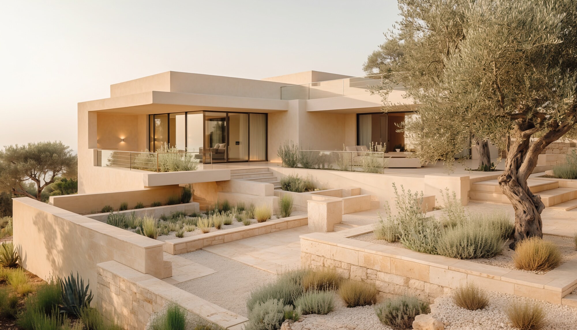
Use drone to explain what ground photography cannot
For a coastal villa, an aerial can show the walk to the sea. For a rural home, it explains land and access. For a rooftop apartment, it makes the terrace scale clear. The best drone shot is often not the highest one.
- ↗Views and proximity to landmarks
- ↗Plot size and boundaries
- ↗Architecture and roof design
- ↗Access and surrounding landscape
When drone adds little
A dense urban apartment does not automatically benefit from every neighbouring roof. If context weakens the story, we spend that time on the arrival, the balcony or the changing view from inside.
A lower camera with a clear purpose is stronger than an aerial shot without one.
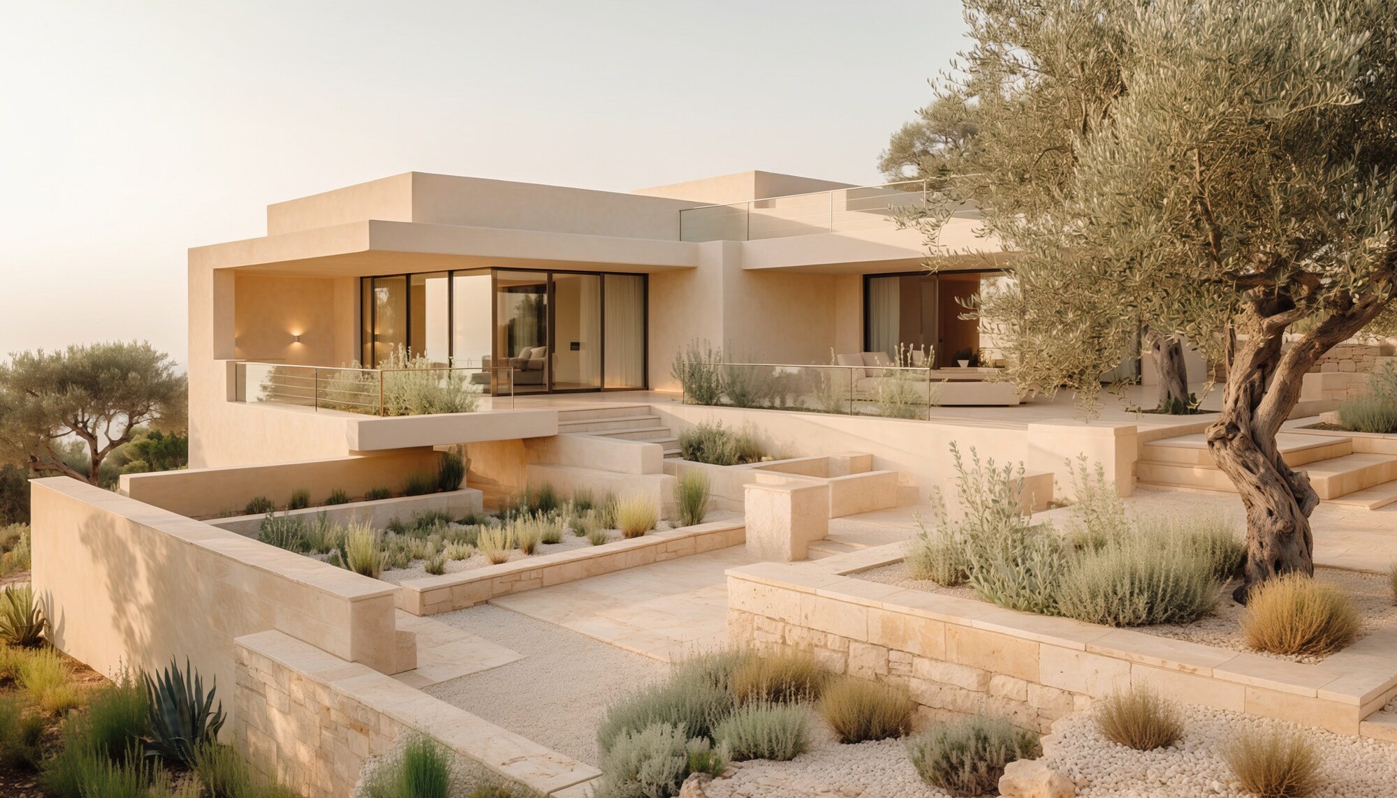
Plan permissions, weather and timing
Barcelona airspace is not a blank canvas. Zones, permissions, privacy, wind and a safe launch point are checked before the day, not while the light is disappearing.
- ↗Flight-zone and permission check
- ↗Safe take-off location
- ↗Sun and wind planning
- ↗Privacy review
- ↗Matching colour and edit style